Research-Grade Records: How iNaturalist and eBird Check Volunteer Wildlife Observations
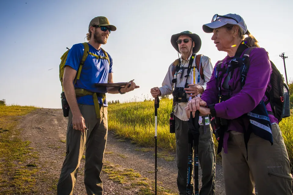
Every day, people photograph a beetle on a wall, record a song in a hedge or tick off the birds they saw on a morning walk, and upload the result to an app. Some of those sightings end up in scientific papers and conservation assessments; others never leave the app. What decides the difference is a set of quality rules that most contributors only half know. This guide explains how iNaturalist and eBird check volunteer records, and what that means for projects and data users.
Two answers to the same problem
Any project that accepts wildlife records from the public must decide how to know an identification is right. There are two broad answers. The first is to show the evidence to many people and trust their agreement. The second is to compare each record with what is expected at that place and date, and send the surprises to someone who knows the local fauna well. iNaturalist is built mainly on the first approach, eBird mainly on the second. They suit different kinds of evidence: a photograph can be checked by anyone, anywhere, while a bird that flew past unphotographed can only be judged on plausibility and description.
Both are forms of the validation strategies described in our guide to data quality in citizen science. Both publish their rules, which is what makes them worth reading closely.
iNaturalist: evidence first, then agreement
iNaturalist sorts observations into three quality grades. The starting point is what it calls a verifiable observation: one that has an accurate date, accurate coordinates, at least one photo or sound, and is not of a captive or cultivated organism or of a human. A verifiable observation is labelled Needs ID until the community has looked at it.
It becomes Research Grade when the community agrees on an identification at species level or below. In practice that means more than two-thirds of the people who have added an identification support the same taxon, and that this "community taxon" matches the observation's taxon. There are exceptions: if identifiers agree on a genus but no further, and vote that the observation cannot be improved, it can be Research Grade at that higher level, provided it is below family (iNaturalist Help, Data Quality Assessment).
Everything else is Casual. An observation drops to Casual if it lacks a date, a location or media, or if other users vote in its Data Quality Assessment that the date or location looks wrong, that the organism is not wild, that the photos show several unrelated organisms, or that the image was altered with artificial intelligence. The system can also mark records as not wild by itself: when at least ten other observations of the same genus or lower exist in the smallest surrounding area and 80% or more of them are marked as not wild, a new one is voted not wild automatically.
Two things follow for anyone using these records. First, "Research Grade" means that two or more people agreed on a photo, not that a specialist checked it. For groups that can only be separated under a microscope, that may not be enough. Second, the grade can change when a later identification is added.
eBird: complete checklists and expected counts
eBird, run by the Cornell Lab of Ornithology, asks for something different. Its basic unit is the checklist: a list of the birds seen or heard at one place and time, with the effort involved (how long, how far, how many observers). Before submitting, every user must say whether it is a complete checklist: birding was their primary purpose and they reported every species they could identify, not just the highlights. The distinction matters because a complete checklist also tells researchers which species were not found, which makes it possible to estimate how common a bird is rather than just where it has been seen.
Each record is then compared with an automated filter for its region: a table of the maximum count expected for each species at each time of year. A report is flagged if the species is rare in the region, outside its normal dates, or present in larger numbers than expected. The filters are written by volunteers with local knowledge and, in some regions, updated as often as weekly (eBird Help, The eBird review process).
A flagged observation does not appear publicly until a volunteer regional reviewer has looked at it. The reviewer uses the notes, photos or recordings the observer supplied and marks the record Accepted or, if the documentation is insufficient, Unconfirmed, in which case only the observer sees it.
Whole checklists can also be withheld. A checklist entered for an entire county, state or country is not public, because the location is too vague for mapping, and so is a travelling checklist covering more than 50 miles (80.5 km).
Hiding the places that need protecting
Open data has a cost when the subject is a rare orchid or a nesting raptor. iNaturalist offers two mechanisms. Observers can choose geoprivacy for their own records, for example to keep their home address private. Separately, taxon geoprivacy automatically restricts the location of every observation of a species whose conservation status says it is threatened by location disclosure; the help pages give the example of orchids sought by poachers.
When a location is obscured, the true coordinates are moved to private fields and the public map shows a random point inside a cell of 0.2 by 0.2 degrees, roughly 500 square kilometres at the equator; locality notes and sometimes the exact date are replaced by coarser versions. A private location shows no geography at all. The true coordinates can still be shared with people the observer trusts, or with the conservation partners the platform works with (iNaturalist Help, Geoprivacy). The same logic, deciding who may see what before publishing, applies to any community dataset, as discussed in our guide to open and community data.
What reaches GBIF
Both platforms feed GBIF, the intergovernmental network that aggregates biodiversity occurrence records for research. iNaturalist sends only Research Grade observations whose data are released under CC0, CC BY or CC BY-NC; observations under an all-rights-reserved licence stay on the platform whatever their quality. The licence in question is the one on the observation data, which is separate from the licences on photos and sounds. iNaturalist generates the export once a week, and later changes of identification or grade are reflected when GBIF next ingests the file.
A GBIF download of iNaturalist data is therefore already filtered for agreement and licence, and because records move in and out with each export, it should be cited with its date and the DOI GBIF assigns to it.
If you run a project on these platforms
- Tell volunteers which licence to choose. A bioblitz whose participants keep the default all-rights-reserved setting contributes nothing to GBIF. Explain the options at the start, as part of consent.
- Plan for identifiers. Many observations stay at Needs ID because nobody with the right expertise has looked at them. Recruit identifiers for the groups you expect to record, or budget expert time.
- Ask for complete checklists when you want to know how common something is, not only where it occurs, and record effort in the same way every time.
- Report the quality grade and the review status in any publication, and say whether you used Needs ID records. Readers should know what "verified" meant in your study.
Both platforms are largely contributory, in the sense used in what is citizen science?: rules are set centrally and volunteers supply observations. Their quality rules decide whose sightings count, and publishing those rules is what lets volunteers and data users judge the results. Image-classification projects take a comparable approach, described in our article on online citizen science platforms.
Sources
- iNaturalist Help, "What is the Data Quality Assessment (DQA) and how do observations qualify to become 'Research Grade'?", consulted 17 November 2026.
- iNaturalist Help, "What is geoprivacy? What does it mean for an observation to be obscured?" and "Which iNaturalist observations are exported for GBIF and how often does this export happen?", consulted 17 November 2026.
- eBird Help, "The eBird review process" and "Birding as your primary purpose and complete checklists", Cornell Lab of Ornithology, consulted 17 November 2026.
 Citizen science & data
Data quality in citizen science
Protocols, training, validation, consensus and statistics: the toolkit that makes volunteer data usable by scientists and regulators.
 Citizen science & data
Online citizen science platforms
Galaxies, camera-trap photos and old handwritten records: how online projects split data into small tasks, combine many volunteers' answers and check them against experts.
 Citizen science & data
Open and community data, shared responsibly
Report-back to participants, open licences, anonymisation and repositories: a practical guide to sharing community research data without harm.